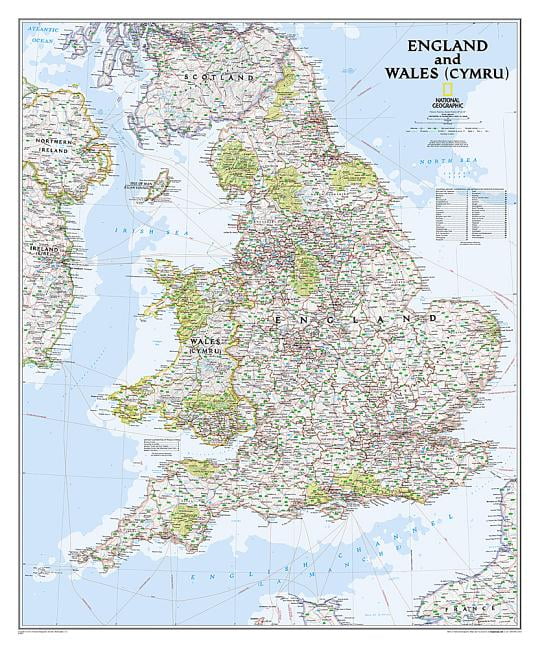


Classic Laminated England and Wales Wall Map 30" x 36"
Colors:
Prices updated 3 days ago

Amazon
Lowest Price

Walmart
Description
Explore the detailed geography of England and Wales with this classic laminated wall map. Featuring vibrant colors and shaded relief, it showcases cities, historical sites, and transportation routes. Durable and easy to frame, it's perfect for any space.
Specifications
Related Products
Similar Products
National Geographic Maps: England And Wales Wall Map - Compact - 21.5 X 16.25 Inches - Front Lamination
Amazon.com
National Geographic Britain And Ireland Wall Map - Classic - Laminated (23.5 X 30.25 In) (National Geographic Reference Map)
Amazon.com
National Geographic England And Wales Wall Map - Executive (30 X 36 In) (National Geographic Reference Map)
Amazon.com
National Geographic Maps: British Isles Wall Map - Compact - 21 X 16 Inches - Front Lamination
Amazon.com
National Geographic: Europe Classic Enlarged Wall Map (46 X 35.75 Inches) (National Geographic Reference Map)
Amazon.com
Cool Owl Maps United Kingdom & Ireland Wall Map Poster - Rolled 24"X27" (Laminated)
Amazon.com
National Geographic: Europe Classic Wall Map (30.5 X 23.75 Inches) (National Geographic Reference Map)
Amazon.com
United Kingdom Of Great Britain And Northern Ireland Map - 16.5 X 23.3 Inches - Paper Laminated
Amazon.com

