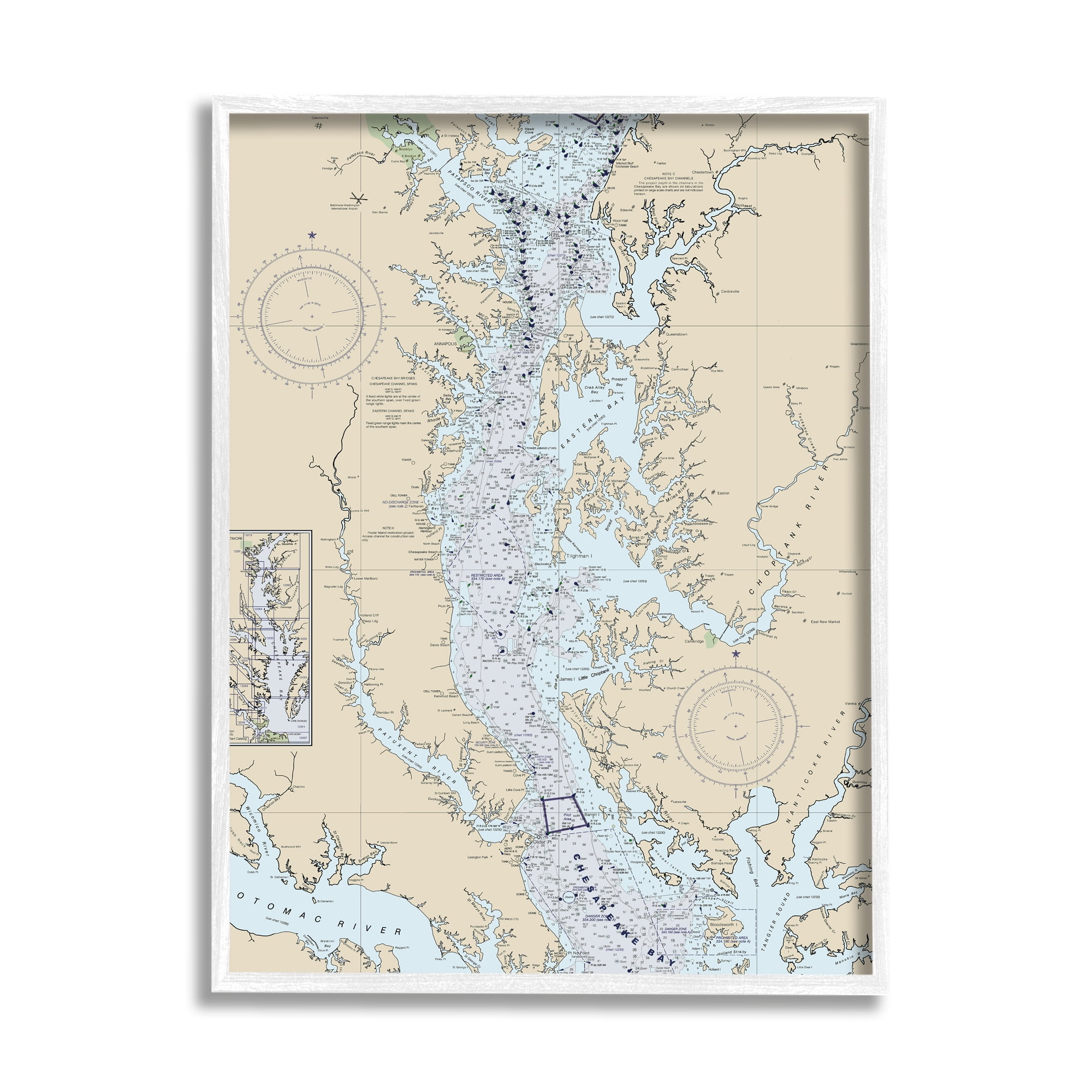


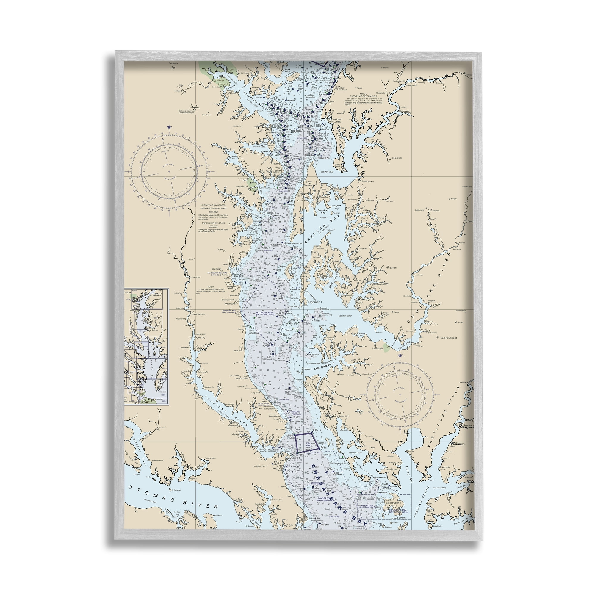
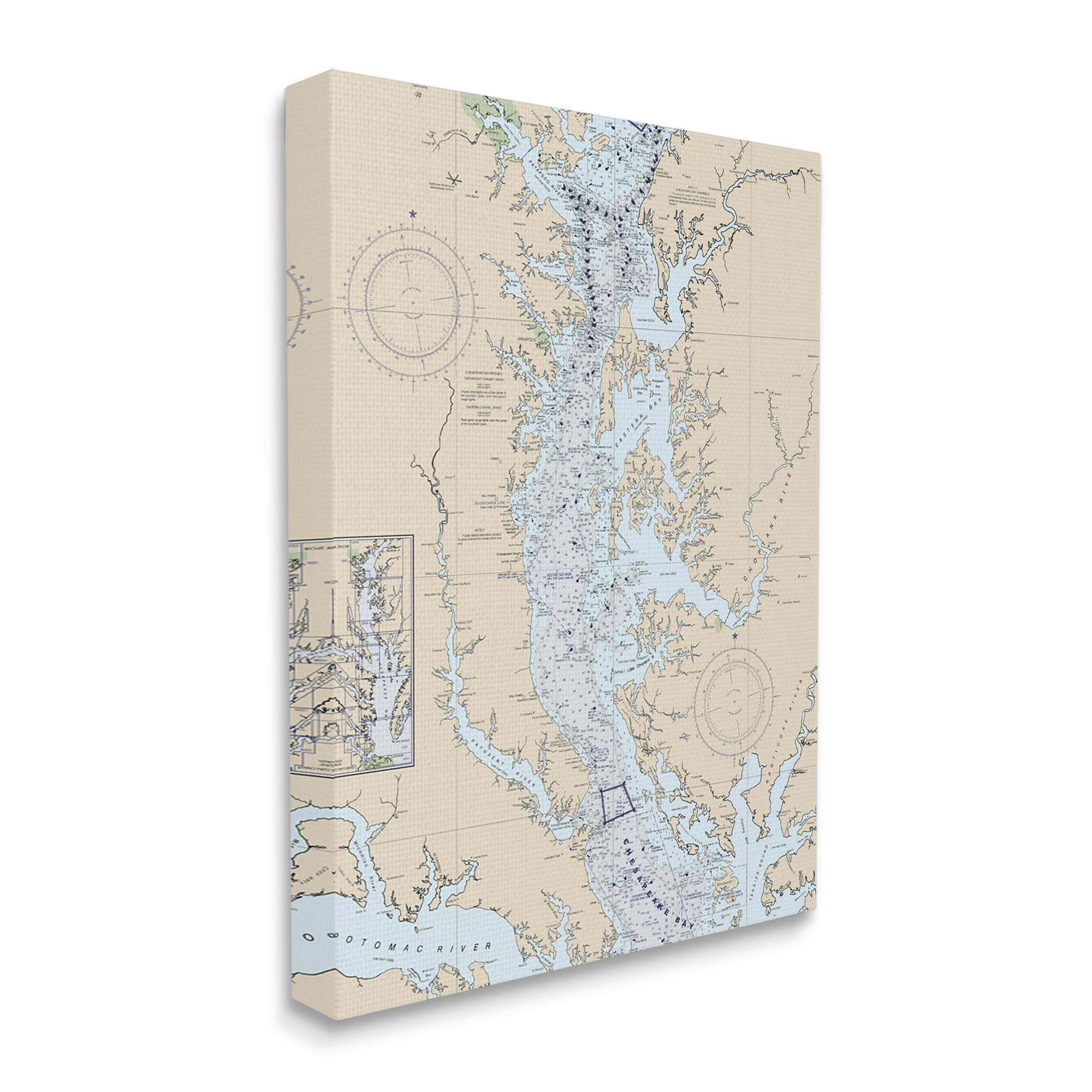
Potomac River Chesapeake Bay Coastal Map Beige Blue White Framed Wall Art
Colors:
Beige
Blue
$55.99
$47.49
15% less
Prices updated 3 days ago

Bed Bath & Beyond
Lowest Price
$47.49

Walmart
$47.98

Amazon
$47.98
Description
Enhance your space with this stunning coastal map of Potomac River and Chesapeake Bay. The textured artwork, framed in a white wood grain frame, adds depth and dimension to any room. Ready to hang and perfect for making a statement.
Specifications
Length
20 in
Width
16 in
Weight
4 lb
Category
Décor & Pillows

Similar Products
Recently Viewed


Related Searches
Potomac River Chesapeake Bay Map
Map Of Potomac River And Chesapeake Bay
Susquehanna River Chesapeake Bay Map
Free Chesapeake Bay Map Image
St Lawrence River Depth Map
Map Of Lower Chesapeake Bay
Lake Erie Locks Map
Chesapeake Bay Estuary Map
Chesapeake Bay Salinity Map
Bass River Cape Cod Map
Bouy Map Of Chesapeake Bay
Chesapeake Bay Oyster Map
Depth Map Of Chesapeake Bay
Chesapeake Bay Depth Map
Monroe Reservoir Nautical Map
Mandurah Estuary Nautical Chart
Thames Estuary Nautical Chart
Lake Okeechobee Nautical Map
Delaware Bay Depth Map
General George Washington Crossing The Patomac Images