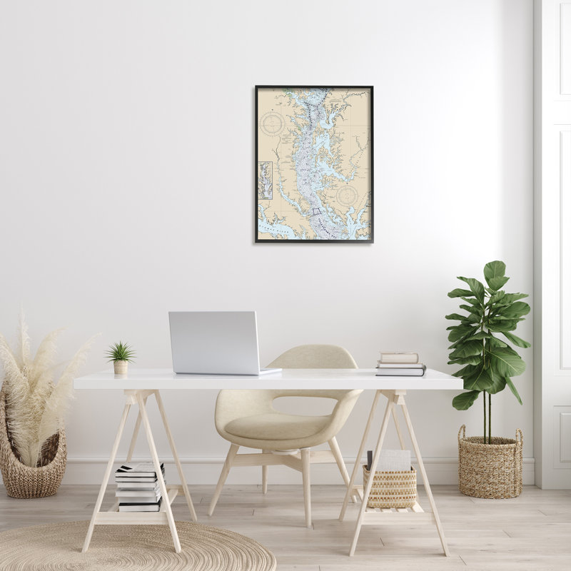


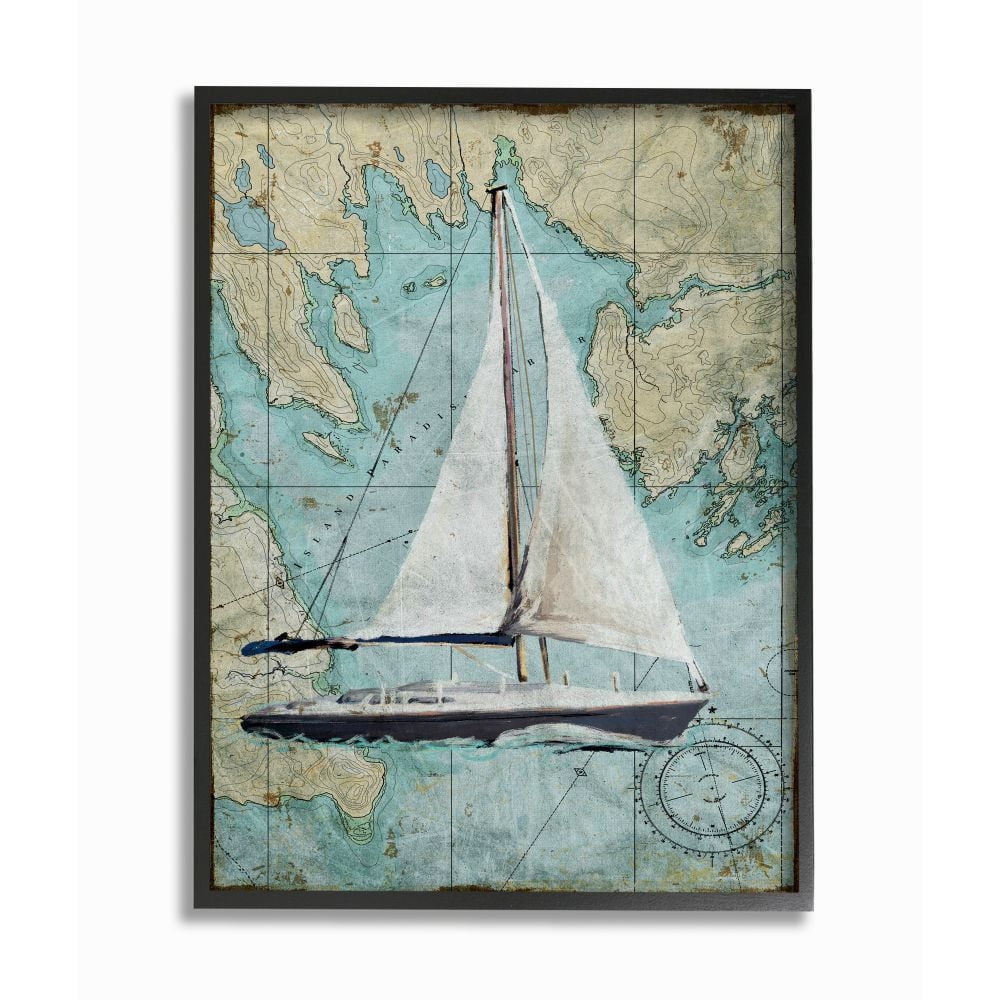
Vintage Coastal Map Print with Black Frame, 11 x 14
Colors:
Prices updated 3 days ago

Bed Bath & Beyond
Lowest Price

Walmart

Amazon
Description
Enhance your space with this vintage coastal map print, beautifully framed in black. The textured artwork adds depth and dimension, making it a perfect statement piece for any room. Ready to hang and designed to impress.
Specifications

Related Products


Similar Products
Historic Map - A Map Of The Chesapeake Bay :Land Of Pleasant Living, 1959, Vintage Wall Art - 24in X 18in
Amazon.com
Chesapeake Bay Wall Art, 3D Custom Map | Nautical Decor | Lake House Decor | Fishing Map | Wedding Gift | Lake Map | Wooden Map
Etsy
Chesapeake Bay Hand-Drawn Map Poster | Authentic 18X24 -Vintage-Style | Lithographic Print With Soy-Based Inks | Made In USA
Etsy
Sea & Soul Chesapeake Bay Nautical Wall Art | Coastal Décor 3D Wood Map 13-In X 16-In | Nautical Wood Chart | Lake Art | Handcrafted In The USA (
Amazon.com
Nautical Charts Of Chesapeake Bay. 12280. Maryland, Virginia. Home Deco Style Old Wall Reproduction Map Print.
Etsy
Chesapeake Bay Map 1868, Vintage Chesapeake Bay Map, Old Chesapeake Bay Art, Wall Art Gift For Chesapeake Bay History Lovers Retro Decor
Etsy
Sealake Products The Original Chesapeake Bay Chart: Harve De Grace To Norfolk (Paper)
Amazon.com
Sea & Soul Chesapeake Bay Nautical Map Wall Decor, Coastal Decor Wall Art, Carved 3D Wood Map, Nautical Water Depth Map, Personalized Gifts
Etsy
NOAA Chart 12273-Chesapeake Bay Sandy Point To Susquehanna River By East View Geospatial
Amazon.com
Historic Pictoric Map - Delaware & Chesapeake Bay, 1912 Nautical NOAA Chart - Delaware, Virginia (DE, VA) - Vintage Wall Art - 18in X 24in
Amazon.com
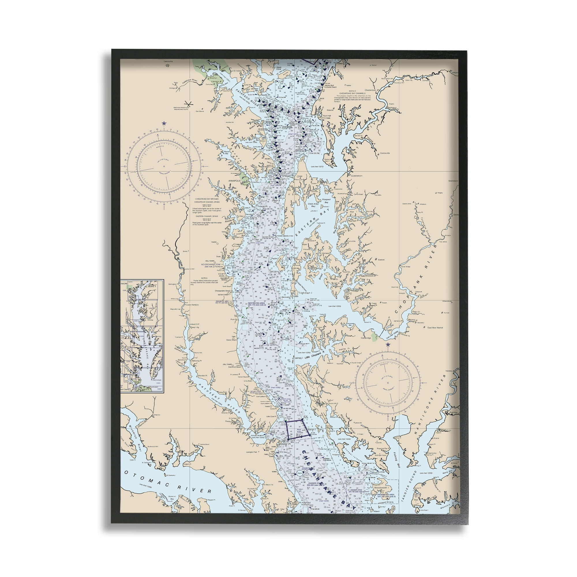
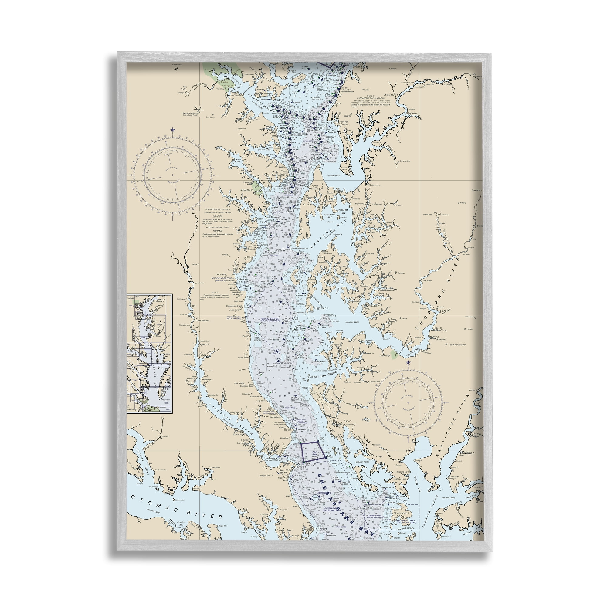
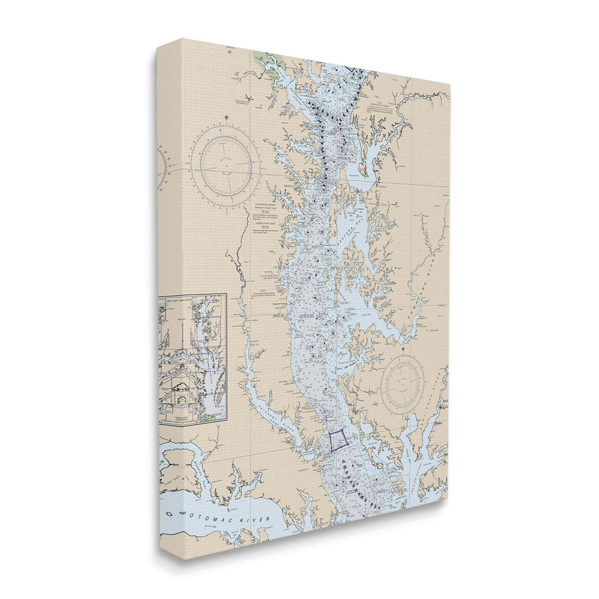
Stupell Industries Chesapeake Bay Water Flow Map Coastal Cartography, 16 X 20, Designed By Daphne Polselli
Walmart
3D Chesapeake Bay Wooden Map | Custom Laser-Etched Nautical Map Of Chesapeake Bay | Wedding Gift - Christmas Gift
Etsy
Handmade And Framed Chesapeake Bay Maryland, Delaware, Virginia Layered 3D Nautical Bathymetric Wood Map
Etsy
Historic Map : Nautical Chart The Chesapeake Bay And Delaware Bay, Fielding Lucas, 1852, Vintage Wall Dor : 31in X 44in
Amazon.com